Skip links

Scan to BIM
3D, LiDAR and photogrammetry

Using 3D scanning, LiDAR, and photogrammetry, we optimize project planning, minimize errors, and improve project execution.

3D scanning is an advanced measurement solution capable of accurately reproducing the shape, structure, and dimensions of real environments.

Building Responsibly

The mission of scanaxis is to facilitate sustainable, precise, and durable construction, supporting the synergy between the digital environment and the real world, so that all industry stakeholders can collaborate efficiently.

Terrestrial Laser Scanning (TLS) utilizes high-precision ground-based LiDAR scanners to obtain detailed 3D models, making it ideal for architectural documentation, infrastructure projects, and industrial site evaluation.

Aerial scanning uses drones with LiDAR and high-resolution cameras for rapid, large-scale data capture in topography and planning.

Maximum precision, reduced costs, and optimal geospatial positioning for civil engineering projects.

1

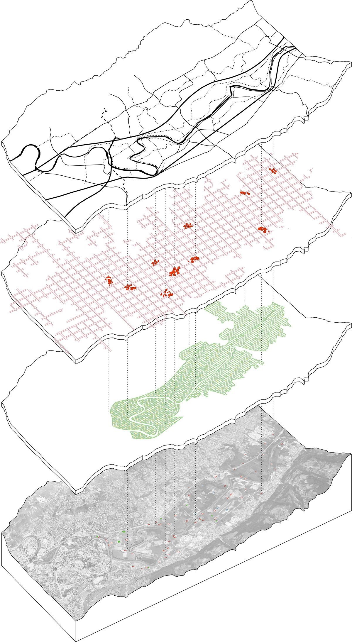
Environmental studies and geospatial analysis

Flood risk assessment, topographic studies

2

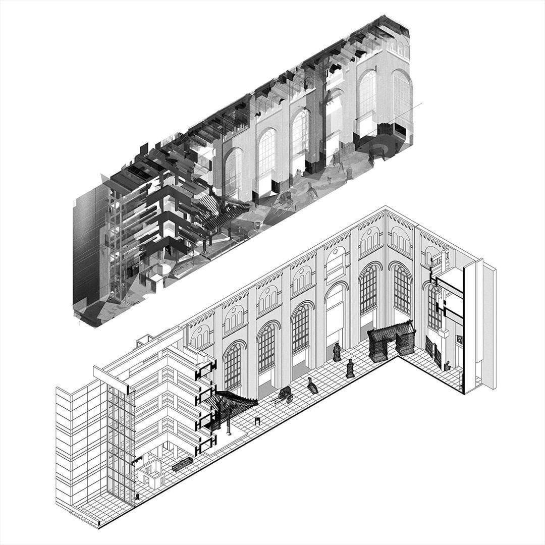
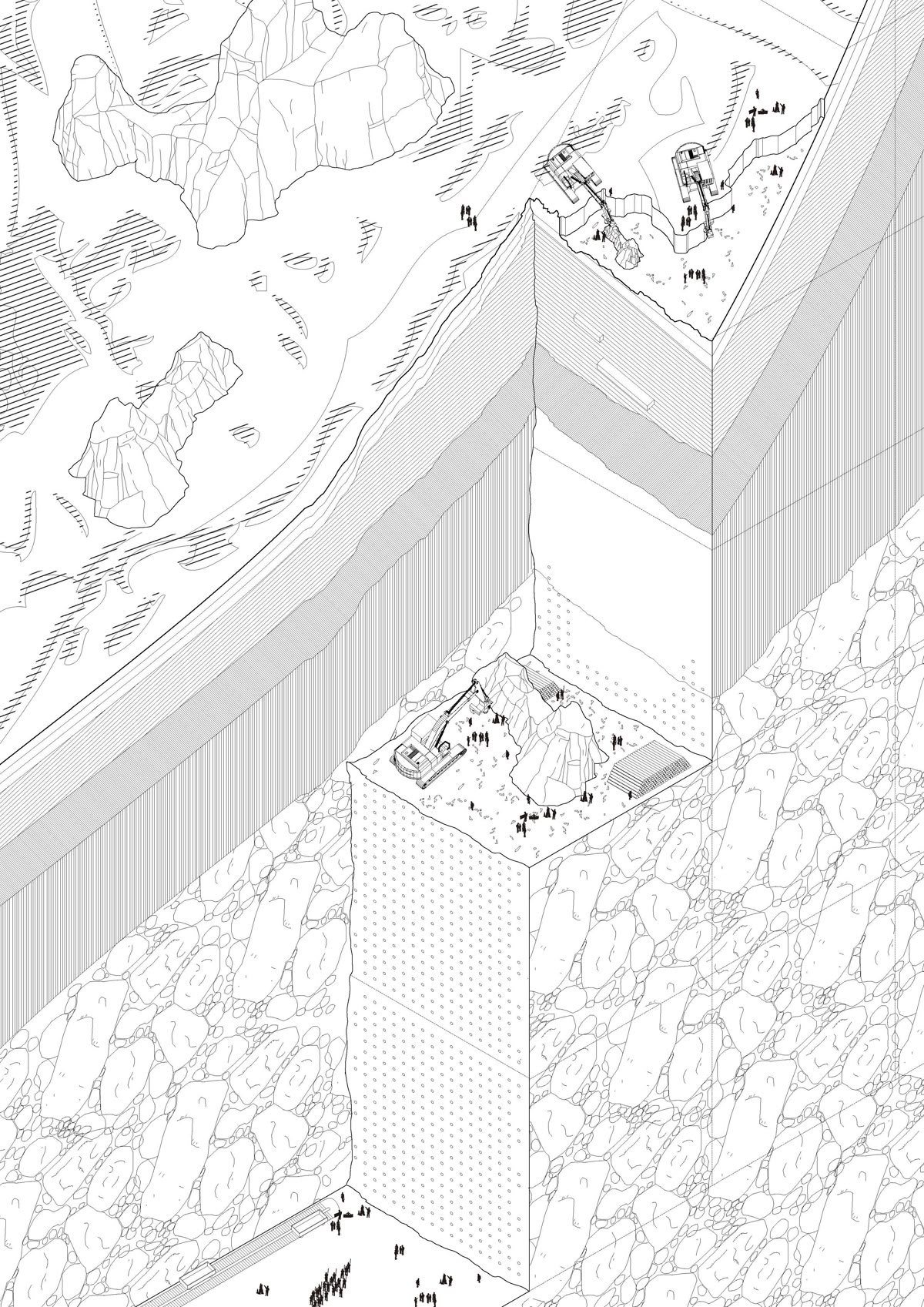
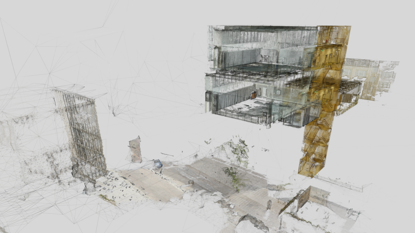
Construction and engineering

Reducing execution errors and ensuring precision

3

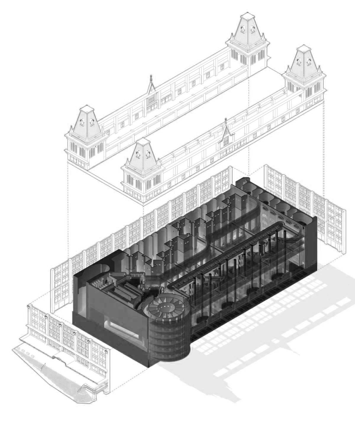
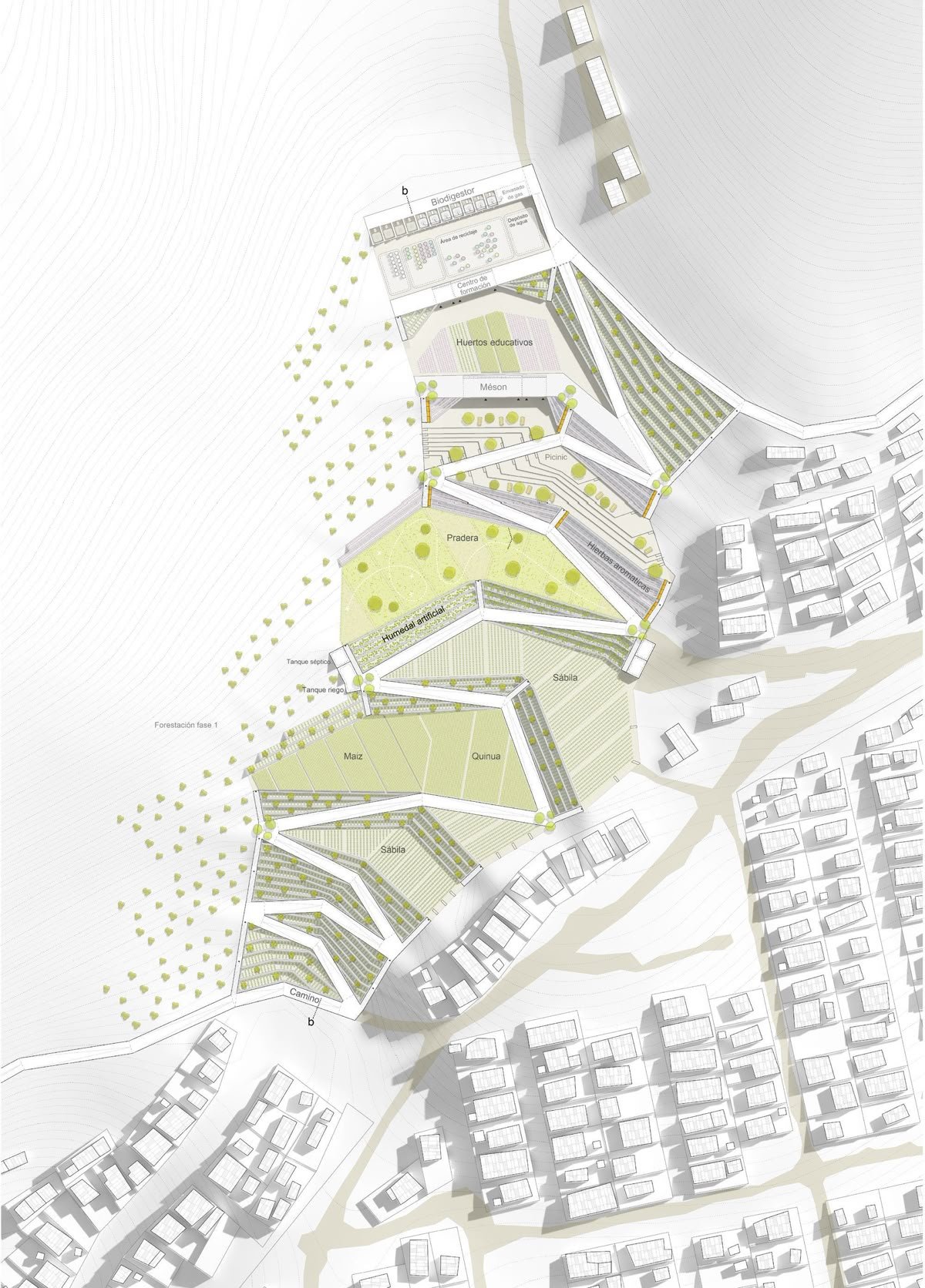
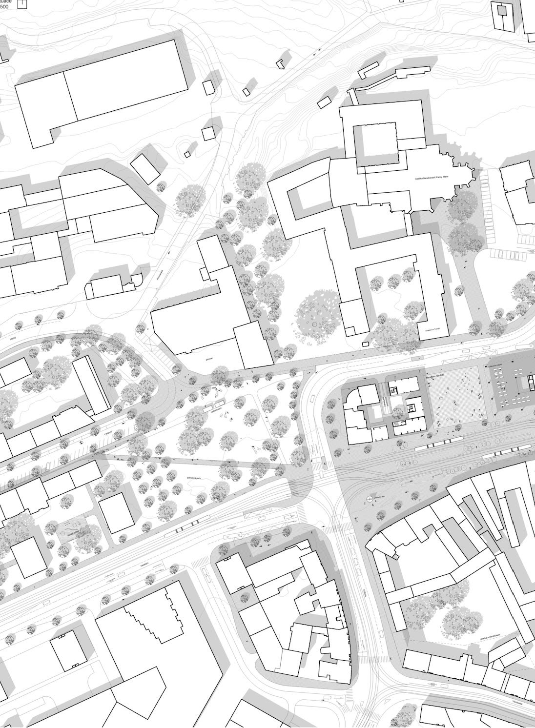
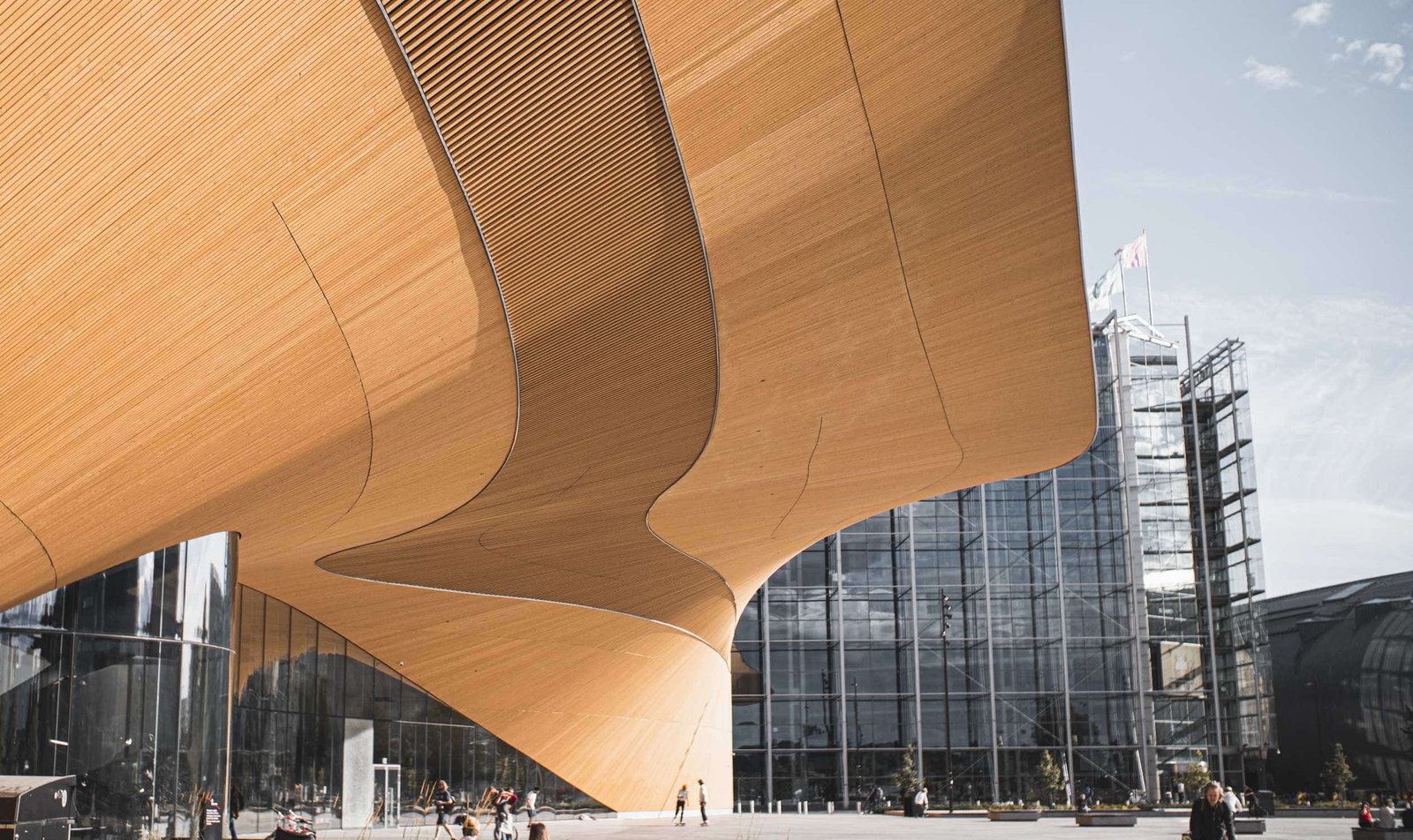
Architecture and urban planning

Documenting existing conditions and preserving heritage

4

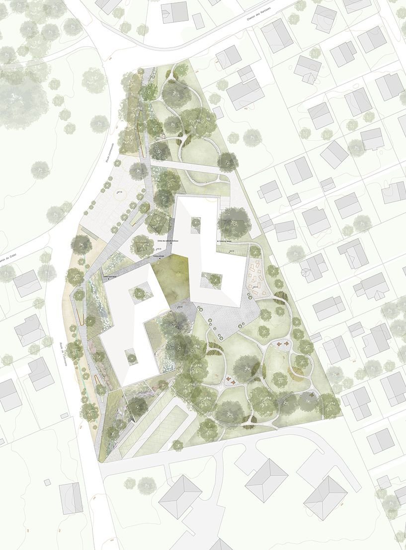
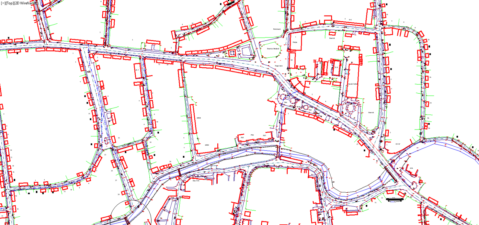
Real estate and facilities

Asset documentation, renovation planning

Why choose scanaxis

Unrivaled
precision, efficiency, and expertise

Livrăm date geospațiale detaliate și modele 3D, reducând erorile și optimizând resursele.

De la BIM la GIS și Digital Twin, creăm un mediu construit conectat și inteligent.De la BIM la GIS și Digital Twin, creăm un mediu construit conectat și inteligent.

Prin analiza predictivă, fluxuri de lucru eficiente și optimizarea resurselor, sprijinim dezvoltarea responsabilă.

scanare 3d
About Us

Applied
Technology

By integrating advanced software solutions for 3D scanning, BIM, GIS, and Digital Twin applications, we ensure seamless integration into our clients' workflows. The use of real-time mobile mapping, high-precision GPS positioning, and predictive analytics tools allows us to optimize project execution, reduce errors, and improve asset management throughout the entire lifecycle.

About Us
Since the 1980s, as the complexity of buildings began to increase, the field of architecture became multi-disciplinary with specializations.

scanaxis Vision

scanaxis integrates geospatial technologies, 3D scanning, and BIM solutions to create unified and precise axis and coordinate systems, used as reference points in all phases of construction projects, thereby contributing to the sustainable development of all involved parties.

Renovations

%

Functional Spaces

%

Architecture

%
Development Process

Our
Approach.

01

/ Analysis

Urban development brings together numerous aspects related to spatial planning, environmental management, social equity, and economic sustainability to create spaces with unique beauty and identity.

02

/ Consulting

We guide you in adopting openBIM standards, ensuring interoperability and seamless integration into operational workflows.

03

/ Implement

We build dynamic digital models that integrate real-time monitoring. Our software-independent approach ensures easy and consistent access for architects, engineers, and asset managers throughout the project duration.

04

/ Monitoring

We provide updates, risk assessments, and continuous support. Our team offers ongoing support so you can maximize the value of your investment.

DIGITALIZATION

AI, Digital Twins, and Autodesk

── Află mai multe
BIM

Between Physical — and Digital

── Află mai multe

BIM Technology

The BIM digital framework promotes better distribution of project frameworks among teams and project planning management, which facilitates a deeper understanding among all stakeholders involved in the construction project.

1.

Real-time estimates for better financial control.

2.

Identify issues before construction begins.

3.

Model energy impact and optimize resources.

4.

Real-time estimates for better financial control.

Latest
News

A dynamic knowledge hub, where digital transformation takes shape.

Acest site web utilizează cookie-uri pentru a îmbunătăți experiența dvs. de navigare.