


What we provide?
Schedule an appointment
Phone:
+40 726 686 722
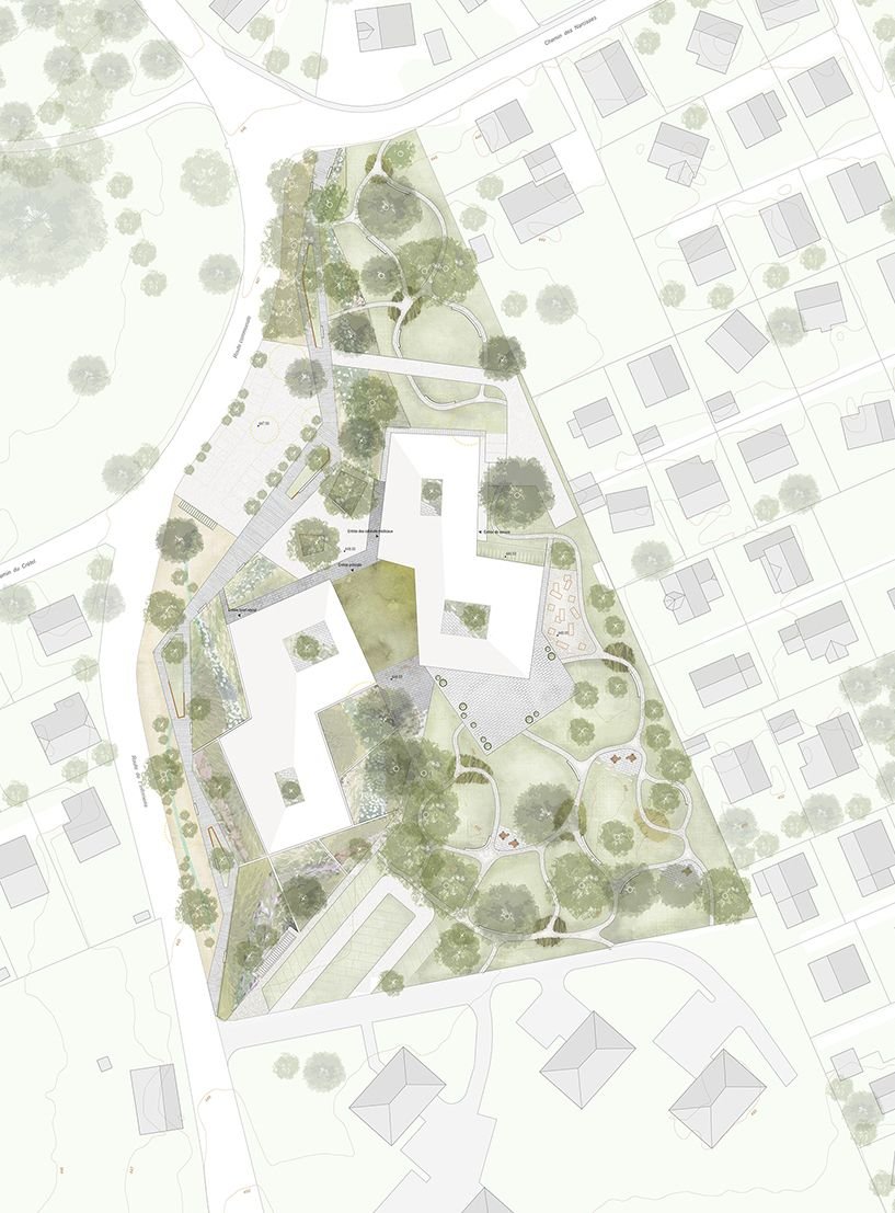
Site Plans
We reduce project risks through accurate terrain models, land assessment, and infrastructure mapping.
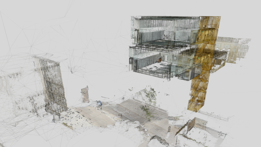
What is a site plan?
A site plan provides a detailed representation of an area, including terrain, buildings, infrastructure, and utility networks. It is essential for feasibility studies, project approval, and construction execution.
Benefits of site plans
Our approach to site plan services
We establish the scope of mapping, comply with regulations and stakeholder requirements, ensuring conformity with zoning legislation and infrastructure planning.
We use drones and terrestrial scanning to create detailed digital terrain models and geospatial data that support urban development projects and site planning.
We provide data updates as the project progresses and the environment changes, to support real-time decision-making.