


What we provide?
Schedule an appointment
Phone:
+40 726 686 722

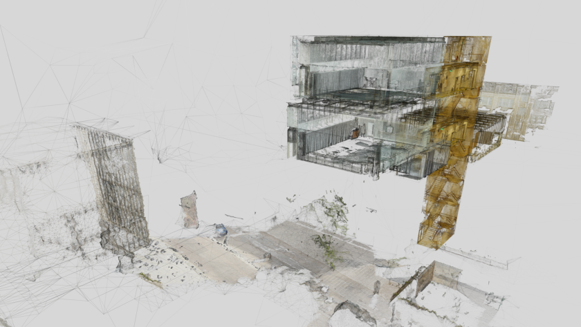
3D Terrestrial Scanning
We create 3D models and structural analyses using our advanced scanning technology.
What is 3D Terrestrial Scanning?
Terrestrial Laser Scanning (TLS) uses high-precision LiDAR technology to capture detailed 3D data from ground level. It is ideal for architectural documentation, infrastructure projects, and industrial site analysis.
Benefits of 3D Terrestrial Scanning
Our Approach to 3D Terrestrial Scanning
We analyze site conditions, compliance requirements, and integration with existing BIM systems to define the most efficient data collection strategy.
Using high-density laser scanners, we collect and verify data in a structured manner, ensuring that accuracy, resolution, and geospatial positioning meet or exceed industry standards.
We transform information into actionable solutions. Our team processes, analyzes, and integrates scanned data into BIM, GIS, and Digital Twin platforms.
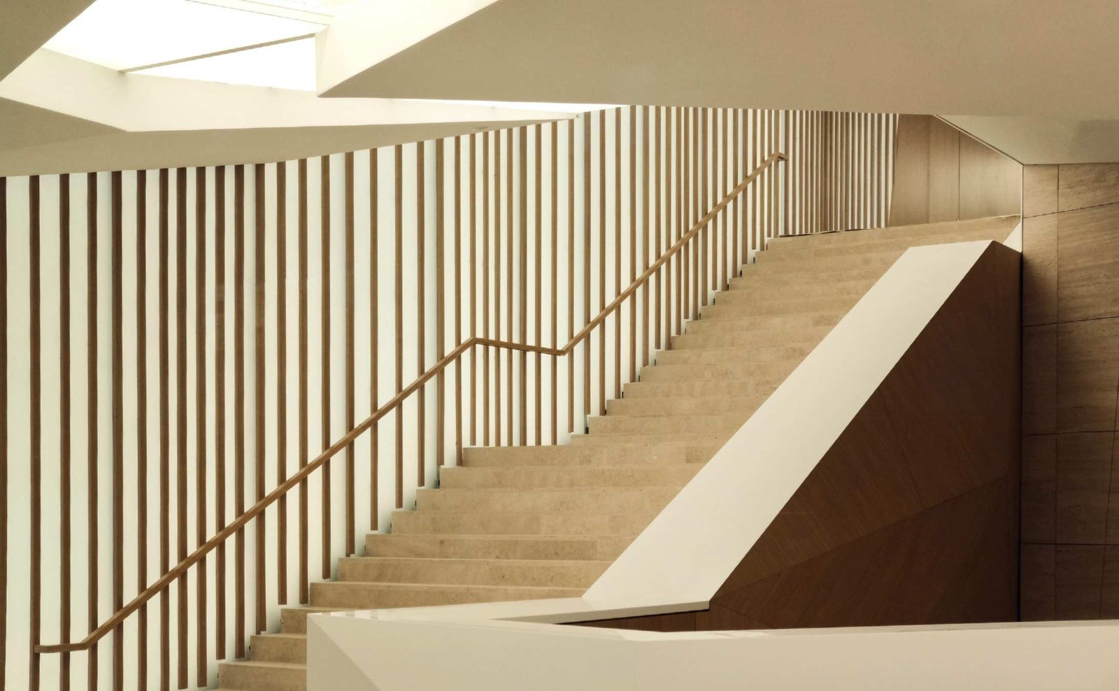
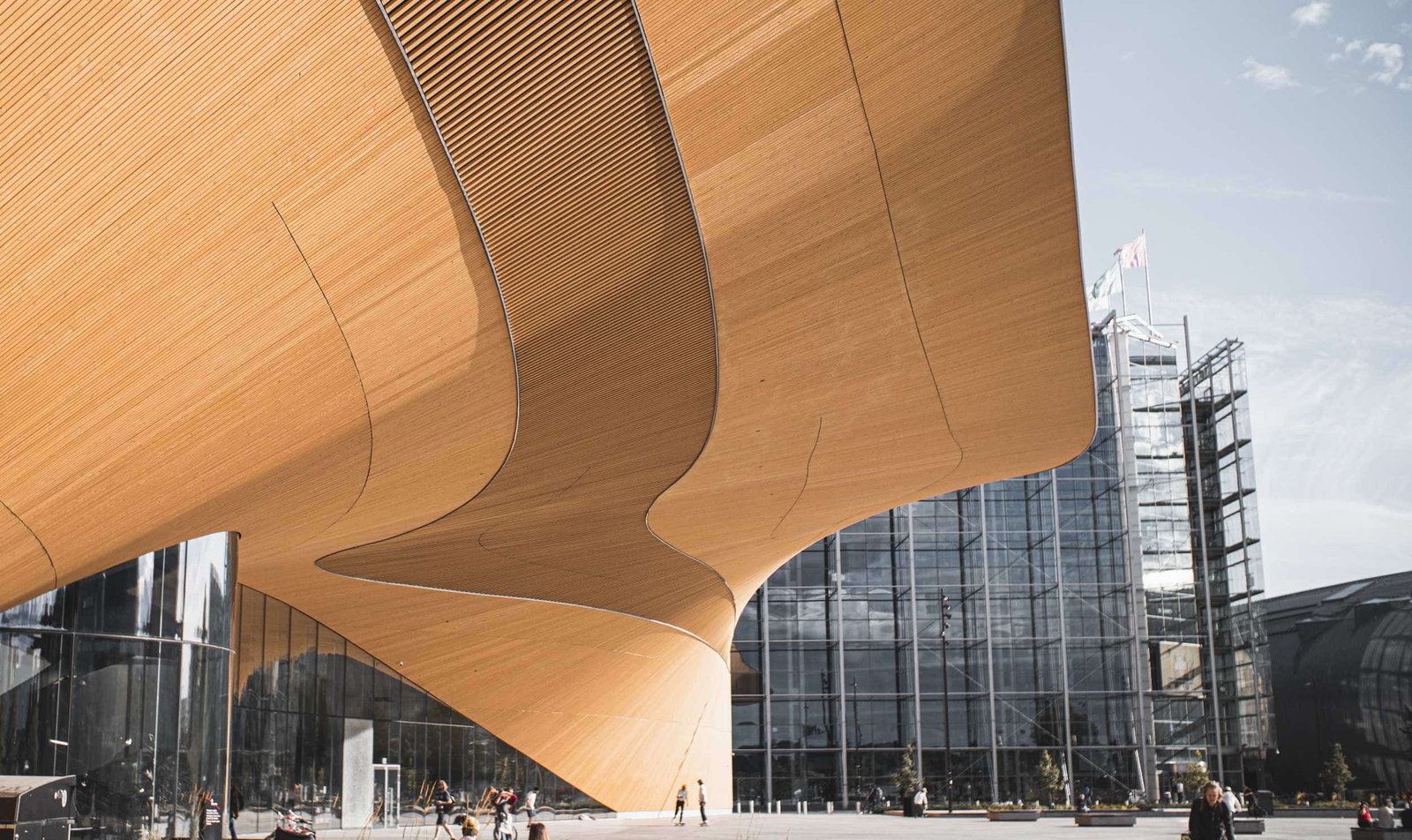
Industries Using 3D Terrestrial Scanning
Architecture and urban planning
As-built models and heritage preservation
Construction
Structural analysis, clash detection, and quality control
Transportation Infrastructure
Condition and safety monitoring of roads, bridges, and tunnels
Energy
Analysis and monitoring of power plants and pipeline networks
Property Management
Optimized spaces and intelligently planned renovations