


What we provide?
Schedule an appointment
Phone:
+40 726 686 722
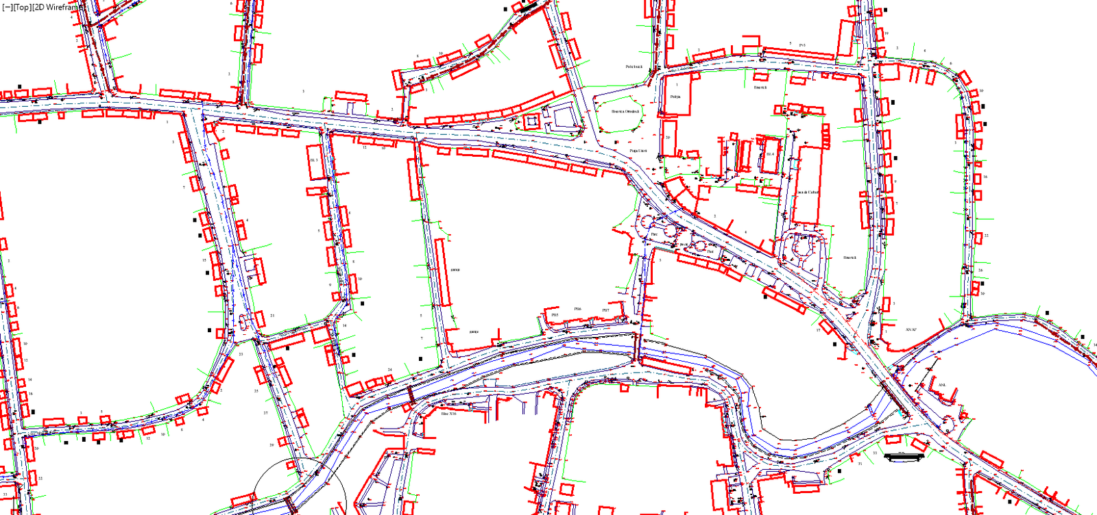
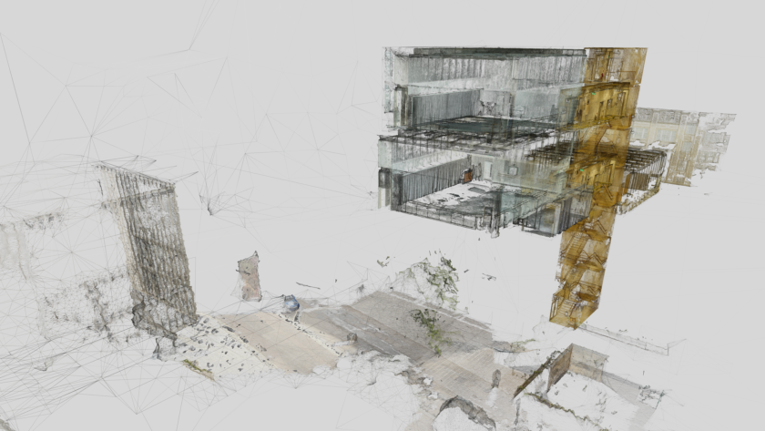
Topographic Networks
Precise alignment is achieved, rework is minimized, and geospatial positioning is optimized within civil engineering projects.
What is a Topographic Network?
A topographic network is a system of stable and highly precise reference points used for construction, measurements, and infrastructure projects. These points ensure that all measurements are accurate and serve as the project's backbone.
Benefits of Topographic Networks
How We Approach Topographic Network Services
We assess the site, identify risks, and plan the control network to ensure precise and accurate topographic measurements.
We establish highly precise control points, make necessary adjustments, and use stations for data collection. Real-time validation ensures accurate measurements with minimal errors.
We analyze spatial data so that topographic information supports long-term asset and infrastructure management.