Skip links
scanare aeriana

The Use of Aerial and Terrestrial Scanners in 3D Scanning and Digital Modeling

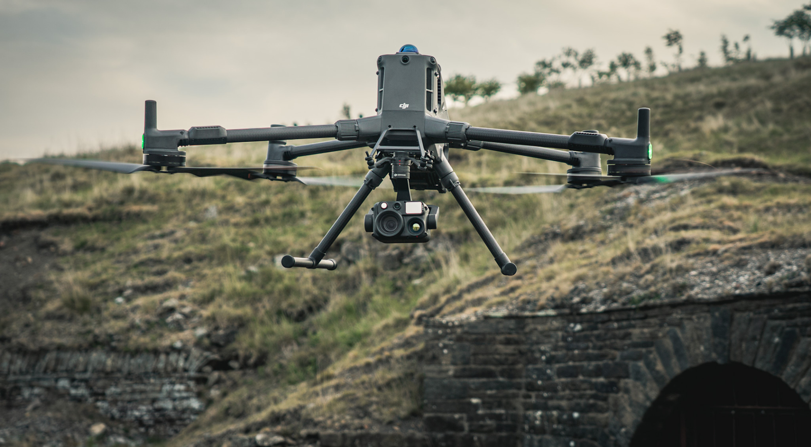
3D scanning has become essential for engineering, construction, architecture, and industry. Modern technologies allow for precise capture of the surrounding environment through terrestrial and aerial scanners, providing accurate data for 3D models, structural analyses, and detailed planning.

This article explores the advantages and applications of scanners, as well as how they contribute to the efficiency of complex projects.

Terrestrial Scanners

Terrestrial scanners are devices placed on the ground to capture precise details of objects and buildings.

  • Examples: Terrestrial LiDAR, mobile laser scanners, 3D total stations

  • Usage: buildings, bridges, tunnels, industrial sites

Advantages:

  • Millimetric precision

  • Dense data for CAD/BIM modeling

  • Rapid capture of complex objects

Aerial Scanners

Aerial scanners are mounted on drones, helicopters, or airplanes, allowing for rapid capture of extensive surfaces.

  • Examples: Aerial LiDAR, UAV photogrammetry

  • Usage: terrains, infrastructure, large construction sites

Advantages:

  • Rapid coverage of large areas

  • Access to hard-to-reach areas

  • Possibility of generating digital terrain models (DTM) and orthophotoplans

Practical Applications of Scanners

1. Construction and Architecture

  • As-built documentation of buildings

  • Planning renovations and rehabilitations

  • Detecting conflicts between installations and structures

2. Civil Engineering and Infrastructure

  • Monitoring bridges, tunnels, and roads

  • Analysis of deformations and structure

  • Planning extensive infrastructure projects

3. Industry and Manufacturing

  • Scanning complex industrial facilities

  • Equipment inventory

  • Support for preventive maintenance

4. Heritage Preservation

  • 3D scanning and modeling of monuments and historical sites

  • Digital documentation for restoration

  • Creation of precise virtual models

Tips for Choosing the Right Scanners
  • Analyze the surface and complexity of the scanned area

  • Choose a terrestrial scanner for maximum precision on small objects or buildings

  • Choose an aerial scanner for large or hard-to-access terrains

  • Check compatibility with 3D modeling and BIM software

  • Consider costs, additional equipment, and staff training

Acest site web utilizează cookie-uri pentru a îmbunătăți experiența dvs. de navigare.